Data-for-ArcGIS
Step Three: Adding coordinate data to spreadsheet
Understanding Longitude and Latitude
Longitude = where the point is east or west on the globe. For example, the Longitude of Los Angeles is -118, while Grinnell is -92, New York is -72, Madrid is -3, Barcelona is 2, and Tokyo is 139.
Latitude = where the point is north or south on the globe. For example, London is 51, Barcelona is 41, Seville is 37, while Cape Town, South Africa is -33.
When mapping a novel mostly centered on a single city, your coordinates should all be relatively similar.
How to obtain coordinates
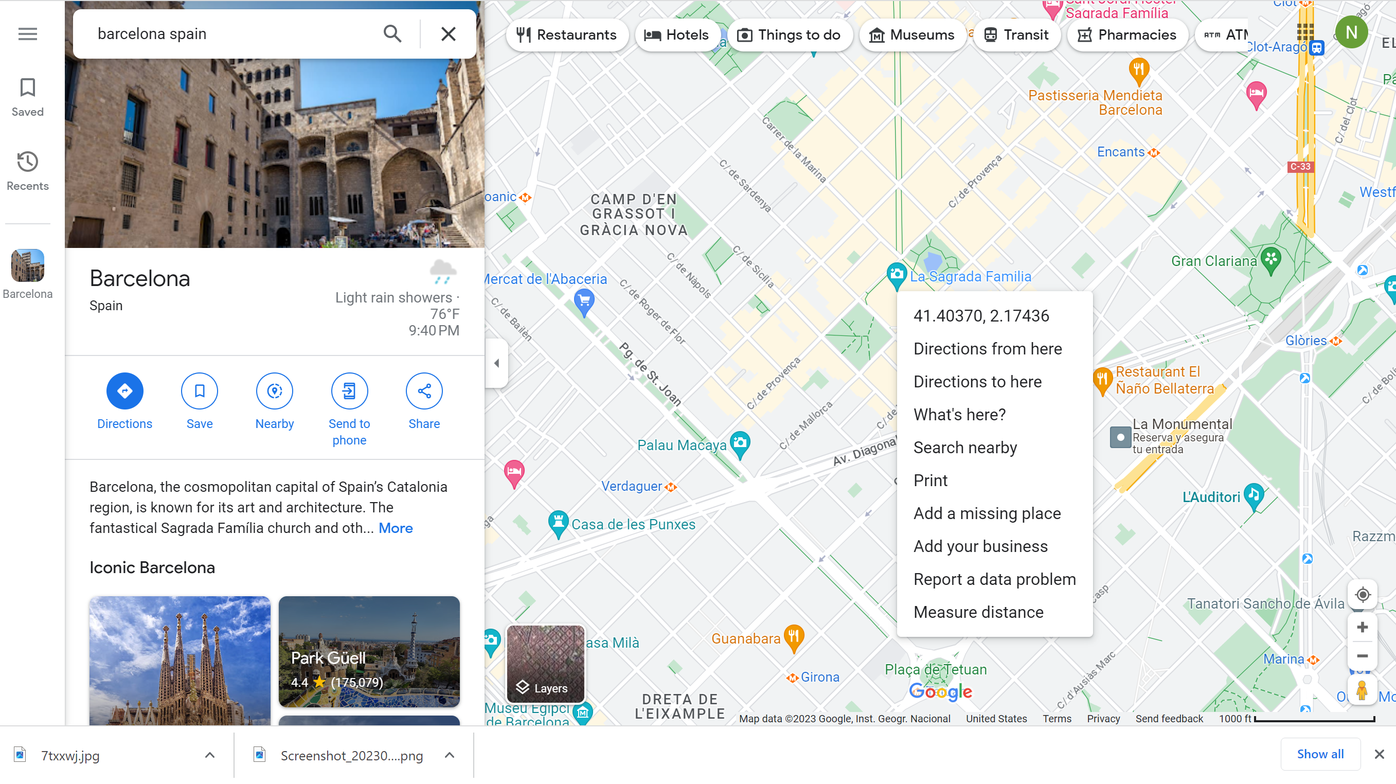
You can use Google Maps to find the coordinates. Search for the location, or find an approximate location on the map, and then right click, or double tap on Mac, to see coordinates. You can click them and they will automatically copy, so you can paste them into the spreadsheet. However, make sure you separate the coordinates into individual Latitude and Longitude columns, so the mapping software can read them properly.
| < previous | next > |